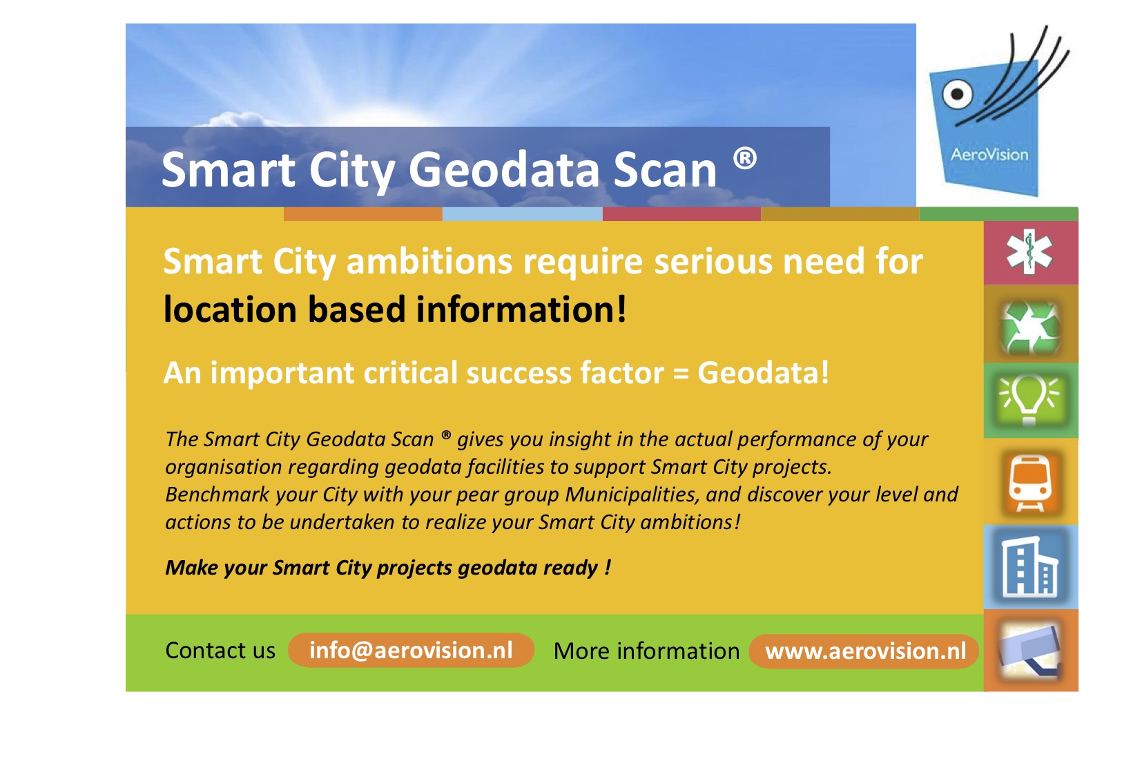
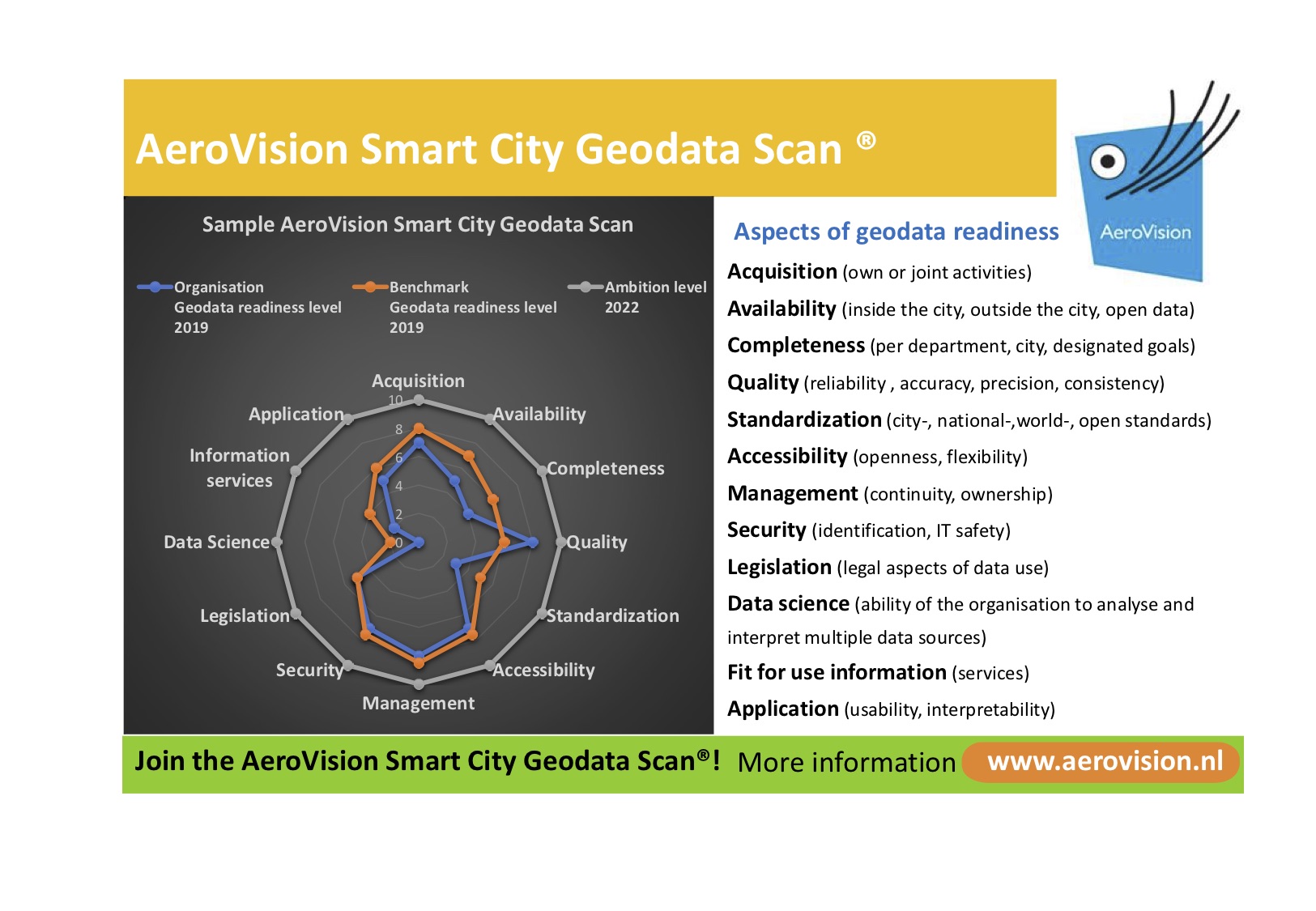
AeroVision introduces the Smart City Geodata Scan® Created by Tamme on 11/13/2018 1:24:19 AM The Smart City Geodata Scan® tells a municipality if its geodata organisation is in order to benefit from the opportunities of smart cities. Geodata is the linking pin that couples datasets and it is the means to visualise data and make spatial analyses.
Interviews with policy makers of large Dutch municipalities show that geodata is organised differently which impacts the role of geodata plays in smart city challenges and developments. The Smart City Geodata Scan® helps municipalities to prioritise actions to maintain or improve their information management.
Join our Smart City Geodata Scan®? Send an email to info@aerovision.nl.
The Smart City Geodata Scan® tells a municipality if its geodata organisation is in order to benefit from the opportunities of smart cities. Geodata is the linking pin that couples datasets and it is the means to visualise data and make spatial analyses.
Interviews with policy makers of large Dutch municipalities show that geodata is organised differently which impacts the role of geodata plays in smart city challenges and developments. The Smart City Geodata Scan® helps municipalities to prioritise actions to maintain or improve their information management.
Join our Smart City Geodata Scan®? Send an email to info@aerovision.nl.
